


 Bulgaria
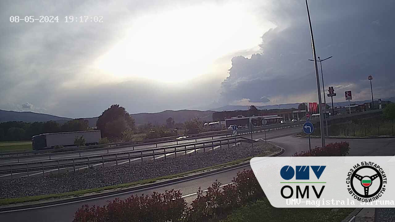
 Bulgaria - Greece border crossing checkpoint at Kulata - Entrance, Live Streaming Webcam 1.
 AllTrafficCams.com
Real-time traffic conditions,
Greece Promachonas, Промахон, Προμαχώνας
Bulgaria Kulata, Кулата, Κούλατα
Border Crossing.
(Kulata directions Sofia).
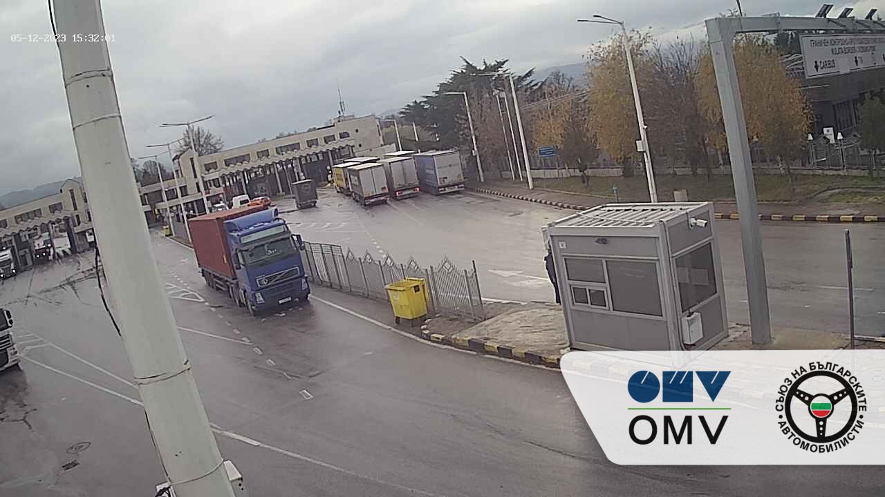
Bulgaria Bulgaria - Greece border crossing checkpoint at Kulata - Exit, Live Streaming Webcam 2.
 AllTrafficCams.com
Real-time traffic conditions,
Greece Promachonas, Промахон, Προμαχώνας
Bulgaria Kulata, Кулата, Κούλατα
Border Crossing.
Kulata - Promachonas border crossing point from the Bulgaria side.
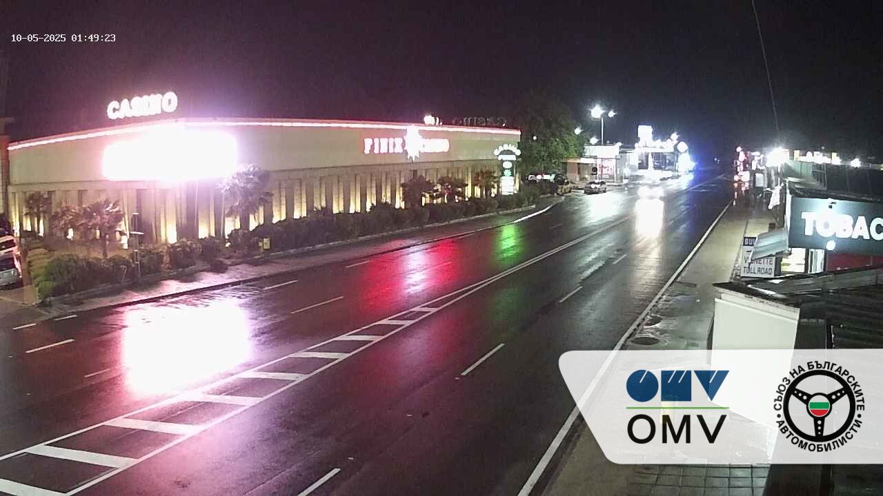
Bulgaria Bulgaria - Greece border crossing checkpoint at Kulata - Exit, Live Streaming Webcam 3.
 AllTrafficCams.com
Real-time traffic conditions,
Greece Promachonas, Промахон, Προμαχώνας
Bulgaria Kulata, Кулата, Κούλατα
Border Crossing.
(1-2 km before the border checkpoint).
Live Traffic Map.
Border crossing station, Kulata - Promachonas , ГКПП Кулата (БГ) — Промахон (ГР) Avtomagistrala "Struma", 2868, Plus Code: 99J7+M2 Kulata, Bulgaria. Border crossing station, Promachonas (GR) - Kulata (BG) , Προμαχώνας (GR) - Κούλατα (BG), Plus Code: 99G6+9R Promachonas, Greece.Live Traffic Map.
Border crossing station, Promachonas (GR) - Kulata (BG) , Προμαχώνας (GR) - Κούλατα (BG), Plus Code: 99G6+9R Promachonas, Greece. Border crossing station, Kulata - Promachonas , ГКПП Кулата (БГ) — Промахон (ГР) Avtomagistrala "Struma", 2868, Plus Code: 99J7+M2 Kulata, Bulgaria.Bulgaria - Greece border crossing checkpoint at Kulata - Promachonas.
Kulata | Petrich Municipality | Blagoevgrad Province | Bulgaria.
Kulata (Bulgarian: Кулата [ˈkuɫɐtɐ], lit. 'the tower', Greek: Κούλατα) is a village in Petrich Municipality, Blagoevgrad Province, in southwestern Bulgaria. As of 2006 it has 892 inhabitants and the mayor is Dimitar Manolev. The village is a major border checkpoint on the border with Greece. The community of Promachonas in Serres regional unit lies across the border.The first-class European route E79 and the railway from Sofia to Thessaloniki pass through the village. It will be an important stop on the Struma motorway.
Blagoevgrad Province (Bulgarian: област Благоевград, oblast Blagoevgrad or Благоевградска област, Blagoevgradska oblast), also known as Pirin Macedonia or Bulgarian Macedonia (Bulgarian: Пиринска Македония; Българска Македония), (Pirinska Makedoniya or Bulgarska Makedoniya) is a province (oblast) of southwestern Bulgaria. It borders four other Bulgarian provinces to the north and east, the Greek region of Macedonia to the south, and North Macedonia to the west. The province has 14 municipalities with 12 towns. Its principal city is Blagoevgrad, while other significant towns include Bansko, Gotse Delchev, Melnik, Petrich, Razlog, Sandanski, and Simitli.
The province has a territory of 6,449.5 km2 (2,490.2 sq mi) and a population of 323,552[1] (as of 2011). It is the third largest in Bulgaria after Burgas and Sofia Provinces and comprises 5.8% of the country's territory. Blagoevgrad Province includes the mountains, or parts of, Rila (highest point of the Balkans — Musala summit, 2925 m), Pirin (highest point — Vihren summit, 2914 m), the Rhodopes, Slavyanka, Belasitsa, Vlahina, Maleshevo, Ograzhden and Stargach. There are two major rivers — Struma River and Mesta River — with population concentrations along their valleys, which are also the main transport corridors.The climate varies from temperate continental to Mediterranean in the southernmost parts. Natural resources are timber, mineral springs, coal, construction materials, including marble and granite. The beautiful and preserved environment is widely considered an important resource. A number of national parks and protected territories care for the biodiversity. Arable land is 38.8% and forests constitute 52% of the province's territory.камери на живо - Kulata kameri na zhivo, Кулата - Промахон.

Promachonas | Sintiki | Serres | Central Macedonia | Greece.
Promachonas, Promahonas (Greek: Προμαχώνας, Bulgarian: Драготин, Dragotin) is a village and a former community in the Serres regional unit, Greece. Since the 2011 local government reform it is part of the municipality Sintiki, of which it is a municipal unit. The municipal unit has an area of 42.212 km2. Population 140 (2011). A major border crossing with Bulgaria is located here. The Bulgarian town opposite Promachonas is Kulata.
Sintiki (Greek: Σιντική) is a municipality in the Serres regional unit, Central Macedonia, Greece. The seat of the municipality is the town Sidirokastro.The municipality has an area of 1,103.431 km2.The municipality was formed after the administrative reform in 2010 (Kallikratis plan) from the merger of the former municipalities of Kerkini, Petrisi and Sidirokastro and the rural municipalities of Angistro, Achladochori and Promachonas. The administrative seat of the municipality is Sidirokastro .The former municipalities and rural municipalities have since formed the six municipal districts. The community is further subdivided into 3 city districts and 23 local communities.
Central Macedonia (Greek: Κεντρική Μακεδονία, romanized: Kentrikí Makedonía, IPA: [ce(n)driˈci maceðoˈni.a]) is one of the thirteen administrative regions of Greece, consisting of the central part of the geographical and historical region of Macedonia. With a population of almost 1.9 million, it is the second most populous in Greece after Attica.The region of Central Macedonia is situated in northern Greece, bordering with the regions of Western Macedonia (west), Thessaly (south), Eastern Macedonia and Thrace (east), and bounded to the north at the international borders of Greece with Republic of North Macedonia and Bulgaria. The southern part is coastal and it is bathed by the Thermaic, Toroneos, Singitic and Strymonic gulfs. The largest city and capital of the region is Thessaloniki. Serres is the second most populous city, followed by Katerini, Veria and Giannitsa. Central Macedonia is basically lowland and with many rivers, is highly developed, both in the primary and in the secondary sector. The largest plain in Greece, is situated in Central Macedonia. Thessaloniki, the metropolis of Macedonia, is Greece's second larger city. The highest mountains of the region of Central Macedonia are Mount Olympus (2,918 m.), Voras Mountains (2,524 m.), Pierian Mountains (2,193 m.), Vermio Mountains (2,065 m.) and Mount Athos (2,033 m.). The larger rivers are the Haliacmon, the Axios, the Loudias and the Gallikos (Echedoros), which all flow into the Thermaic Gulf. Koroneia, Volvi, Doiran and Kerkini lakes are situated in Central Macedonia. The coasts are continuous, smooth, sandy and suitable for swimming (except the estuaries and the shores of the urban complex of Thessaloniki).Motorway 25 passes through the village, which connects Thessaloniki with Serres and Promachonas.ζωντανές κάμερες - Promachonas zontanés kámeres, Προμαχωνας - Κουλατα.
AllTrafficCams.com
Worldwide, WebBased Service for online traffic cameras, used to monitor traffic flow and road conditions.The purpose of the Cameras is for staff to monitor traffic flow, road and weather conditions and to look for and manage accidents and incidents on major roads.Position cameras in a manner conducive to viewing precise traffic data to be provided by CCTV traffic monitoring systems that are usually integrated with road infrastructure.
These Online traffic cameras also can help drivers save time, can help keep you calm on the road ,mitigate traffic jams , and even save lives.